Croatia
Itinerary: Rovinj – Pula – Vrsar – Motovun – Plitvice Lakes – Rab – Primošten – Trogir – Salona – Klis – Brač – Hvar – Neretva Valley – Klek – Ston – Dubrovnik
Rovinj and Pula
The weather forecast was correct: as soon as we enter the Istria region on our way from the airport at Zagreb to Rijeka, the sun makes way for rain showers. This morning we left home for a two-week road trip in Croatia. After a flight of one hour and fifty minutes and with a delay of half an hour we landed at the small airport near Zagreb. After picking up our retal car we left sunny Zagreb behind us en drove down the highway towards Istria. Where, as mentioned, rain is pooring down. After dinner we set up our tent as quickly as possible.
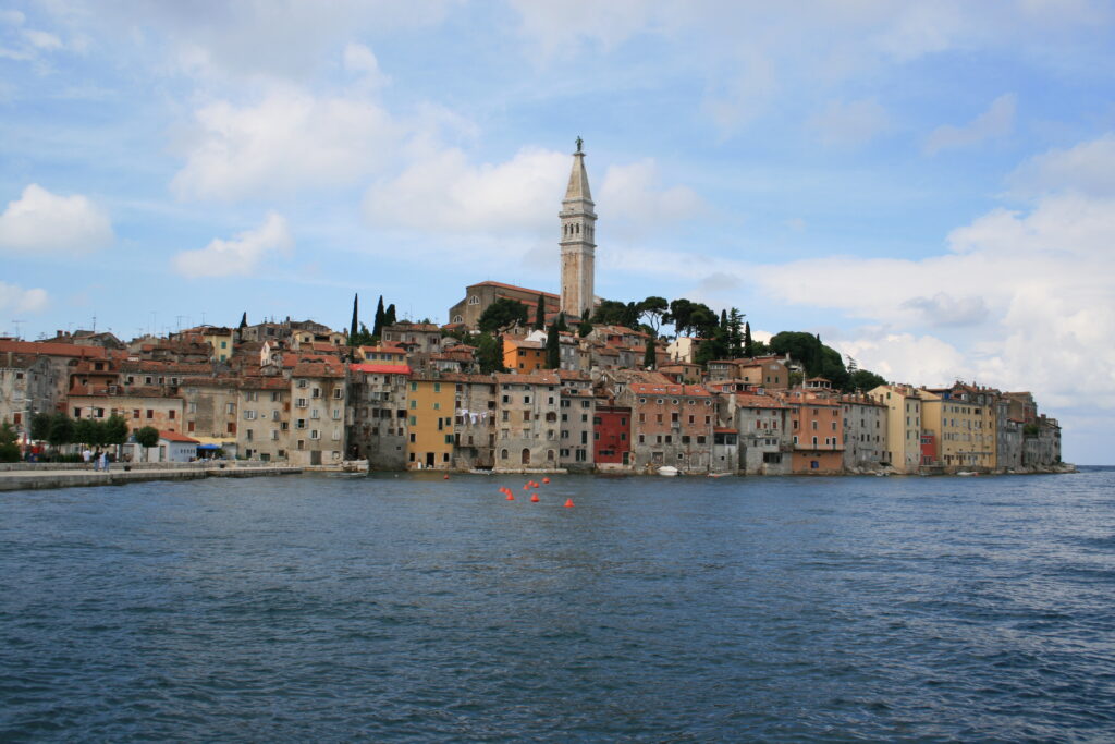
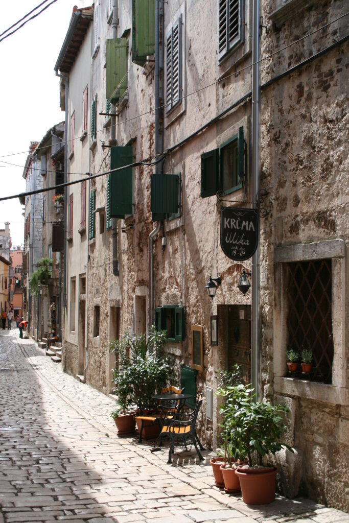
After a night of heavy rain, the next morning the weather is a lot better, we can even see some blue sky. After breakfast we drive to Rovinj and park the car on the outskirts of town. Rovinj is a small old town, beautifully situated on a peninsula that was once a real island. From a distance it is already a photogenic town and from up close even more so. A maze of small streets with old cobblestones. Old houses, some neatly refurbished and freshly painted, others less well-maintained, with peeling shutters and gray walls. The latter perhaps being even prettier. Rovinj is only a small town, but very worthwhile.
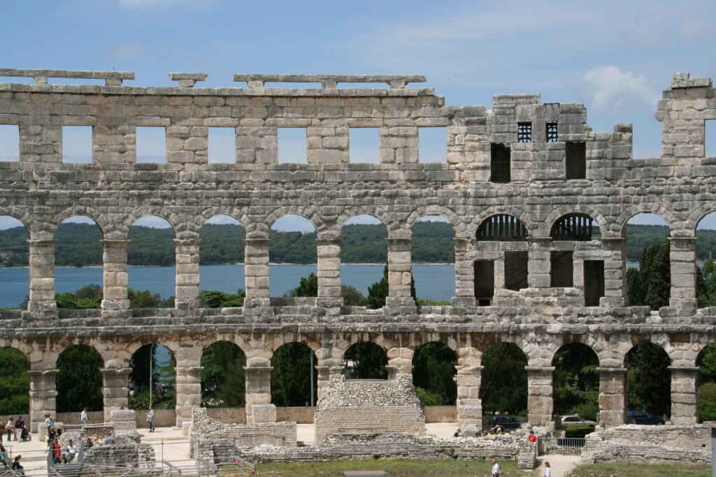
After visiting Rovinj we drive to Pula, more than thirty kilometers to the south. It takes us over an hour, especially because the traffic in Pula itself is jammed. We park the car at the harbor and walk in a random direction. A few hundred meters further on we come across the main attraction of Pula: the more than two thousand year old Roman amphitheatre. The outer wall is still almost completely intact and that makes this arena an impressive building. Unfortunately, there is very little authentic on the inside. The blue plastic chairs are testament to the fact that performances are still being given at the arena.
We walk into the center of Pula. The town itself is not that special, although the Forum is a pleasant square. There are two former Roman temples located on the square: one to the god Diana (now the town hall) and one to Emperor Augustus. Via a series of steps we arrive at the fortress, from where you can look over Pula in all directions. From here you can see that Pula today is mainly a busy, modern city. The old amphitheater forms a sharp contrast to the large sheds and cranes of the port.
Limski Kanal, Vrsar and Motovun
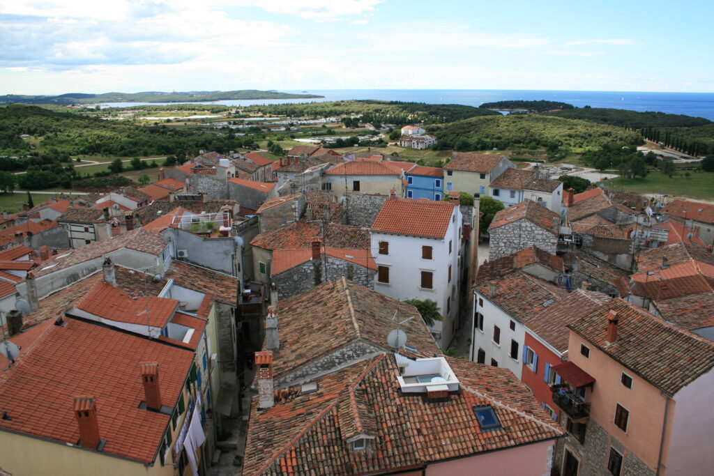
The next day we drive north to the Limski Kanal, an elongated fjord with thickly forested hills on either side and clear, green-blue water. Via winding roads we drive to Vrsar, a small village on the Istrian coast. We walk along the large marina and then climb up the streets of the village, which was built against a mountain slope, up to the clock tower, from where you have a panoramic view.
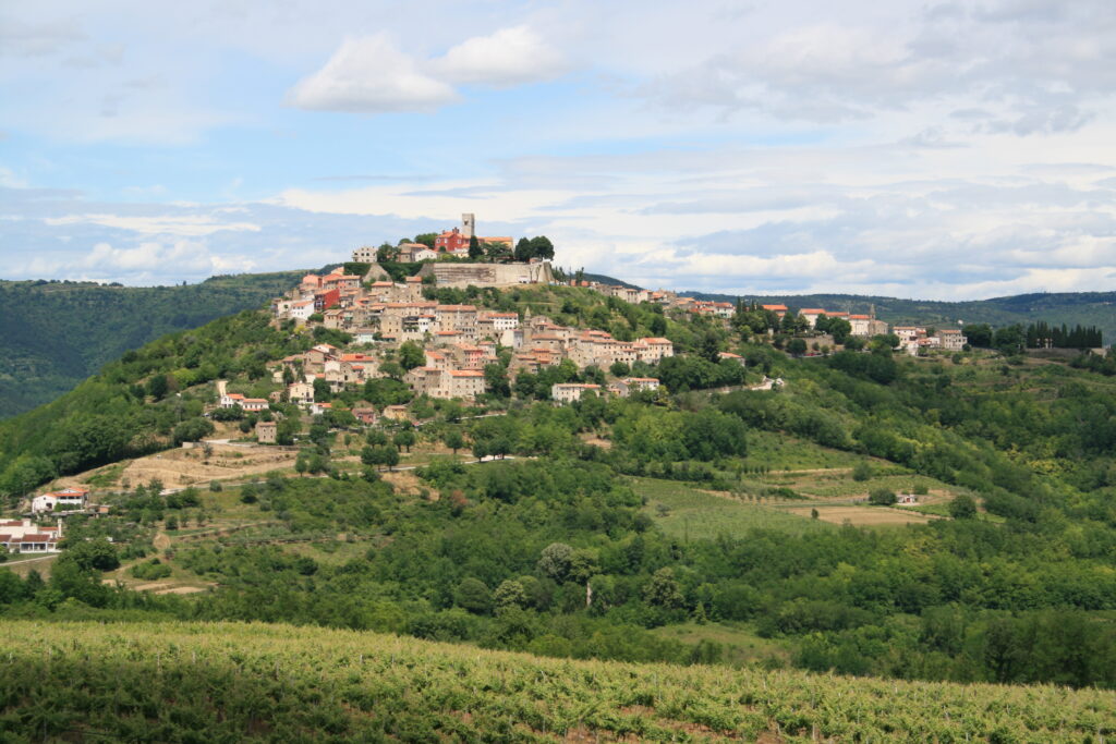
Istria is mountainous and reminds a bit of the Italian region of Tuscany. Certainly towns like Motovun, located on top of a hill in the middle of the green landscape. The best thing about Motovun is actually the view of the town when you arrive from a distance. At a bend in the road you have a beautiful view over the valley, the mountains and the town. We arrive at the town via a number of hairpin bends, but the last part we walk, because the streets in the old town are very narrow. Just like in Rovinj, the streets are made of large cobblestones, very picturesque, but occasionally also very slippery. We walk through some streets and over a part of the old city wall, and then drive down again via the same winding road.
From Motovun we drive towards Buzet, from there we take the road south towards Cerovlje. This is a mountainous route with views both left and right. What strikes us is how incredibly green Istria is. Mile after mile of thickly wooded hills, only occasionally interspersed with a small village or vineyard. All that green contrasts beautifully with the blue sky and the rusty brown soil.
Having completed our route through the interior of Istria, we drive back to Rijeka and leave the peninsula behind us via the long Učka toll tunnel. The surroundings of Rijeka are uninspiring. We manage to find the coastal road and drive south from there, heading for the Senj area, where we will spend the night. We pitch our tent on a very small campsite just past Senj, with a view over the sea.
Plitvice Lakes
The next morning we drive inland towards Plitvička Jezera, or the Plitvice Lakes. The drive takes exactly two hours and leads us through the hilly interior of Croatia. A lot of forest here as well. The road winds from left to right and up and down across the landscape. One minute you’re driving in the mountains, where one hairpin bend (here aptly called ‘serpentina’) follows after the other, the next you’re driving on long roads in a flat landscape. On the way we pass small villages, sometimes no more than one or two houses. Along the side of the road are small stalls where the locals sell cheese and olive oil.
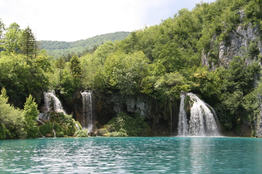
Around noon we arrive at the northernmost of the two entrances to the park surrounding the Plitvice Lakes. The Plitvice Lakes is a seven kilometer long chain of turquoise-colored lakes, connected by a series of waterfalls. In the park you can follow various trails, which take from two up to eight hours. We cut our visit in two. First we visit the northern part of the park, where the ‘veli slap’, or large waterfall, is located. The path first goes steeply downhill and then along the water. Fish swim all along the side. The color of the water is indeed bright turquoise. Unfortunately, we are not the only tourists here and we end up in the midst of various coach loads of visitors.
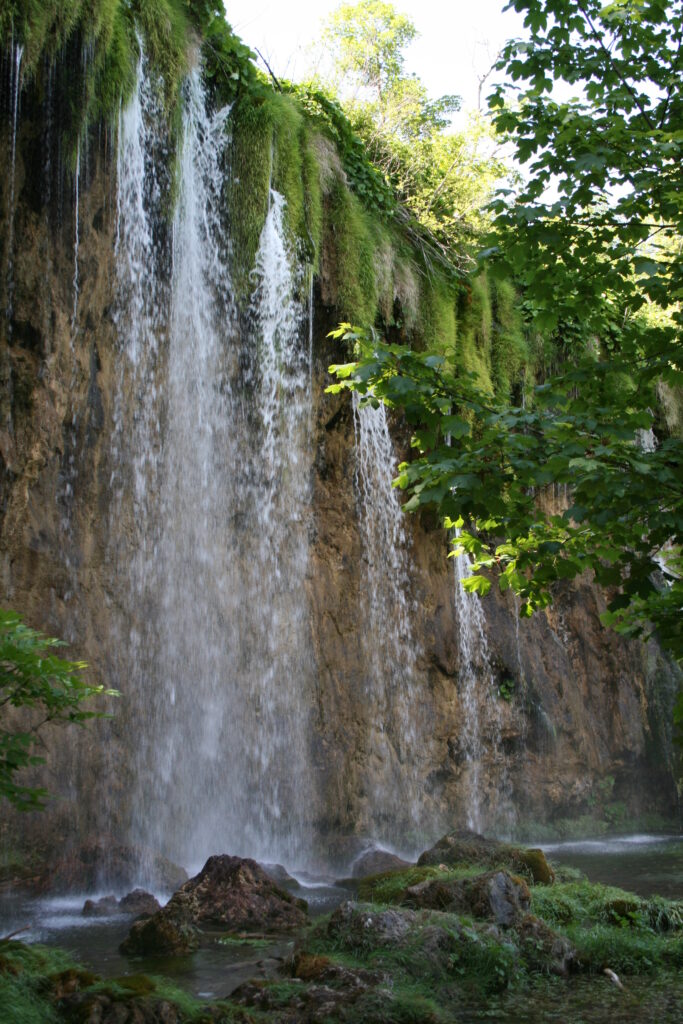
After walking along and around the northernmost lakes for a while, we return to the car and drive to the second entrance to the park, a few kilometers south. The water here is perhaps even clearer than at the first lakes. The rushing sound of the waterfalls can be heard everywhere. Big ones, little ones, at least there are a lot of them. The path goes up and down around the lakes to bridge the difference in height. From the end of the trail a shuttle service takes us back to the parking lot. We set up camp six kilometers north of the Plitvice Lakes under a clear blue sky.
On the road
The next day we drive back to the coast, along the same route as we came by. What we didn’t notice then, but we do notice today, is that there are many empty and sometimes dilapidated houses along the way, often right next to relatively new houses. The empty houses are the result of the ethnic cleansing that took place during the civil war (1991-1995) that marked the end of Yugoslavia. During the war, this area belonged to the Krajina, the part of Croatia where many ethnic Serbs lived and where fierce fighting took place. After the Croats recaptured the area from the Serbs, many Serbs moved away, leaving their empty houses behind.
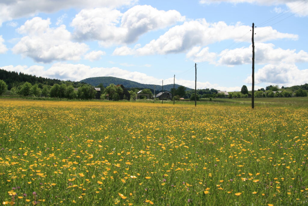
A little later we have parked the car at the side of the road, when a touring car arrives from the other side and stops. The female Croatian guide makes it clear to us, wildly gesturing, that we should not walk into the field: there are mines. I thank her for the warning, which is quite confronting. I find myself standing on the edge of a minefield without realizing it! A little later we pass through the village of Otoçac, a village that looks almost completely restored, except for one building, which has not been renovated. Its facade is full with bullet holes. For a moment the past civil war is very visible. Impressive.
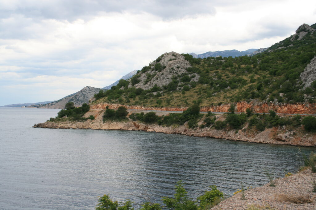
At Senj we stop for coffee and drive past the Nehaj castle that overlooks the town. From here we drive along the coastal road, called Magistrale, towards Jablanac. It’s a beautiful coastal road that winds along the rocky coast with great views over the islands off the coast of Croatia. When we arrive at Jablanac, a steep road leads us down to the ferry dock. Ten minutes later the boat arrives and another ten minutes later (after a not too exciting crossing) we arrive at the island of Rab.
Rab, Primošten, Salona and Klis
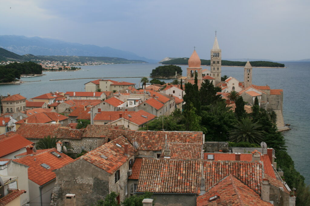
The old town of Rab, which bears the same name as the island, is known for its bell towers. You can walk around the entire town in about an hour. In the Veli Svonik (the large clock tower) we climb up; from the top you have a beautiful panoramic view.
The next day we take the ferry back to the mainland (strangely enough, the ticket for the boat is not a return ticket and you have to buy a new ticket to get off the island again). Then we drive south on the Magistrale. The coastal road winds continuously, without all those bends the distance would be at least two thirds shorter. But it’s a beautiful route. On the left the impressive Velebit Mountains, only gray rocks with some vegetation here and there. On the right the view over the sea and on this part of the route the island of Pag, which looks inhospitable and barren.
The two-lane road requires you to pay full attention all the time. The road is good, but not all parts have a crash barrier. And it’s striking that Croats drive very fast. Overtaking seems to be the number one popular sport here. From Maslenica we take the highway, otherwise we would be driving much longer. In the course of the afternoon we arrive at our destination: the town of Murter, where we spend the night.
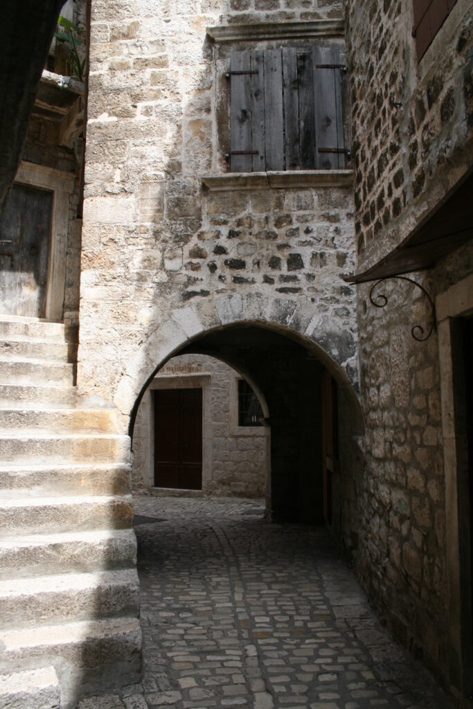
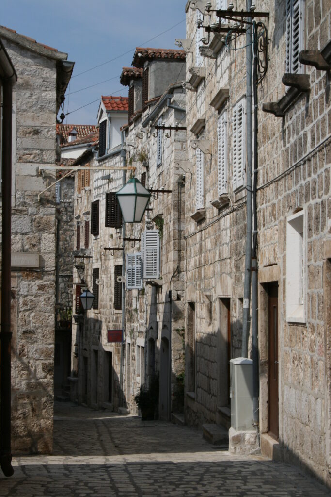
The next morning we drive to Primošten, a small town, beautifully situated on a peninsula, just like Rovinj. After a walk about town we move on, soon pass Sibenik and a little later we arrive in Trogir. Trogir is also located on a small peninsula, at least the old part of the city. Here too small streets with old cobblestones, old houses with shutters, the inevitable churches and a beautiful boulevard, Riva, along the water.
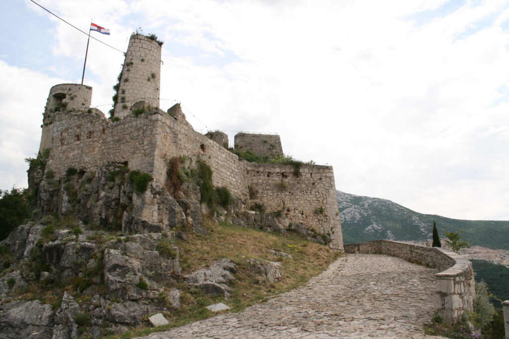
The sky is dark over Split the following day and the lightning bolts shoot straight down. We ignore the second city of Croatia and turn to Salona. Here are the ruins of an ancient Roman city, including an amphitheatre. Unfortunately, very little is left of it. Klis is a little further up in the mountains. There is an ancient fortress on top of a mountain. When we arrive here, the sun breaks through te clouds. The fortress has suffered from time, but still looks photogenic. From a great height you look out over Split, which from here appears to be made of white high-rise buildings only.
Via a stretch of highway we come back to the coastal road, the Magistrale. We follow it until Omiš, from where we drive on a small road along the Cetina river. The river flows through a valley, while the road winds its way up the mountains with a number of hairpin bends. You have the best view at the beginning, at Omiš and towards the end, at Zadvarje. From Zadvarje we follow the coastal road again until just past Makarska. The routes are beautiful, but it’s very strenuous driving. I am quite tired when we arrive at the campsite in Podgora.
Brač and Hvar
The ferry crossing to the island of Brač takes an hour. Brač turns out to be a large, green island. We drive straight to Bol, a small fishing village on the south side of the island. A nice boulevard along the water, a harbor and some old houses, that’s about it. Not very special, but we take it easy today. We set up our tent at a small campsite, with a view over the water and the island of Hvar in the background.
To get from Brač to Hvar (no more than an Olympic swimming distance as the crow flies) we have to return from Bol to the boat to Makarska and then from Drvenik by boat to Hvar (perhaps a direct service Brač – Hvar is an idea?). Fortunately, Drvenik is only a half hour drive from Makarska. The line of cars waiting is very long, but we are lucky: we are one of the last cars to get on the ferry.
Hvar has only one main road, which runs from east to west across the elongated island. The annoying thing about this road is not so much that it winds up and down (I don’t think Croatia has straight roads), but that it is quite narrow and has no shoulder. Next to the road it goes straight down and there are no crash barriers. Meanwhile the temperature has risen to above 26 degrees.
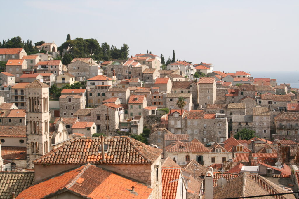
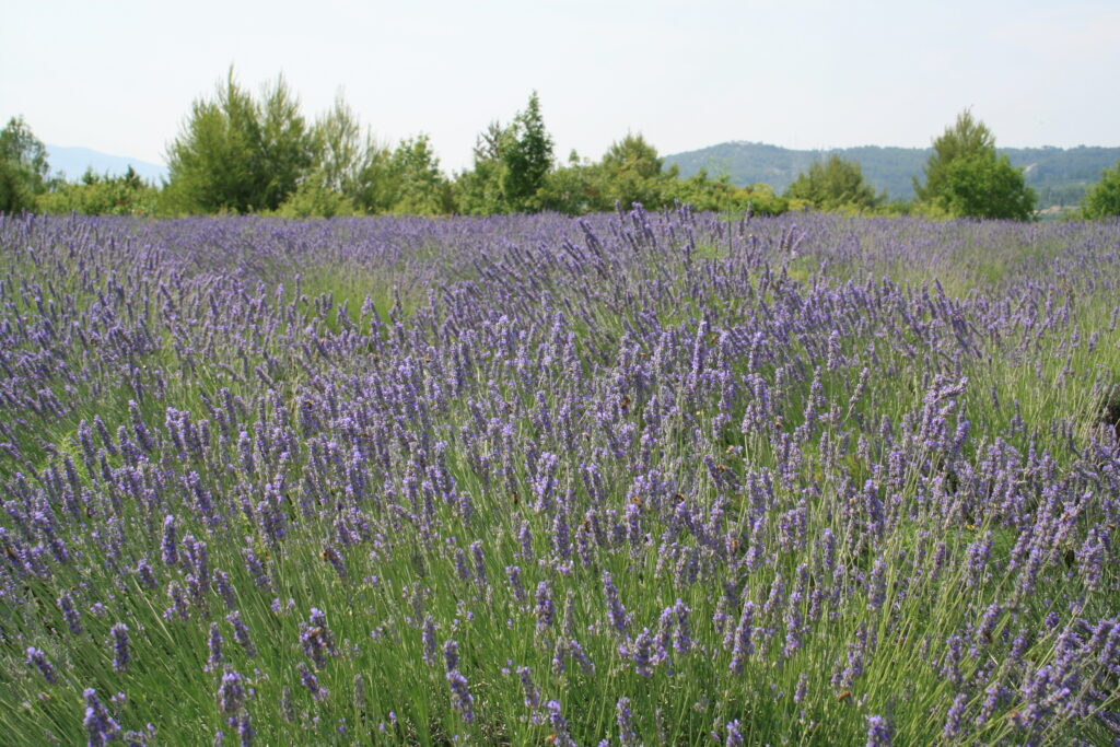
Hvar is a green island, full of olive trees, occasionally interspersed with a vineyard or a small lavender field. Hvar is known for its lavender, but we cannot discover more than a few small fields. At the very end of the island is the town of Hvar, a small town like we have visited before, but beautifully situated on a bay. We walk across the main square, along the harbor and then up the hill to the sixteenth century citadel. The path zigzags up, quite a climb, especially considering the heat. From the citadel you have a beautiful view over the harbor and the old red roof tiles of the houses.
Neretva Valley, Klek and Ston
The next morning we drive back to the east side of Hvar (yes, again down that nice road) to take the boat back to the mainland. Half an hour later we are driving south again on the Magistrale. After a little more than twenty kilometers we drive along the Baćinska Lakes and a little later the road runs through the Neretva Valley. Between the mountains sits flat lowland with swampy soil, which (as far as we can see) is used for fruit growing. Along the side of the road there are several stalls offering oranges and other fruit (sometimes there are ten stalls in a row, which makes you wonder if all those people are selling anything).
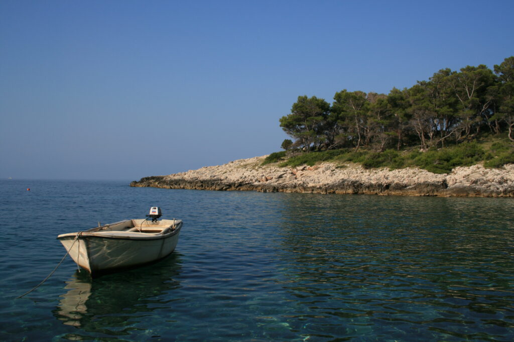
Around lunchtime we make a stop in Klek, a village with just a few houses and a beautiful pebble beach. We decide to relax for a while at this beach. Just past Klek is the border with Bosnia-Herzegovina. Bosnia-Herzegovina has about nine kilometers of coastline, which means that the southern tip of Croatia is detached from the rest of the country. The customs officers don’t even bother to look at our passports and we drive into Bosnia-Herzegovina without any problems. After nine kilometers we cross the border again. On our right is Pelješac, the elongated peninsula known for its viticulture. This week we have already experienced that nice wines are made in this region. We pitch our tent near the town of Ston.
Ston is a small, unpretentious village. This was once the front line of Dubrovnik’s defenses, when it was still a city-state (Ragusa). This can be seen from the very long defensive wall that runs around the village and then over the mountains. A kind of mini Chinese wall. Part of the wall is open to the public and on this sweltering hot day we venture to climb part of it. The rest of the day we spend reading and relaxing.
Dubrovnik en Mount Srj
Of all the towns we have visited in the past two weeks, Rovinj has been the favorite so far. But at the end of this road trip, this town in Istria has to give up its number one position to what (in terms of sights) is the highlight of the trip: Dubrovnik.
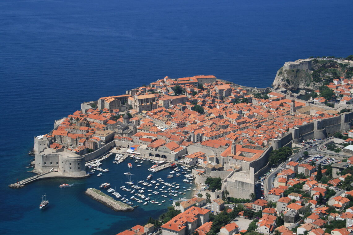
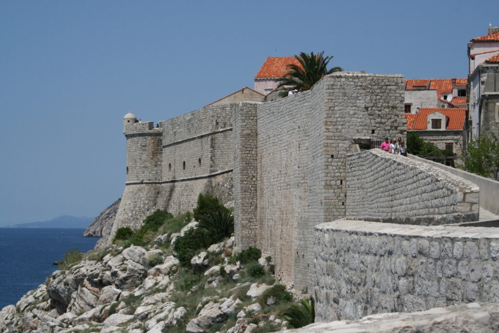
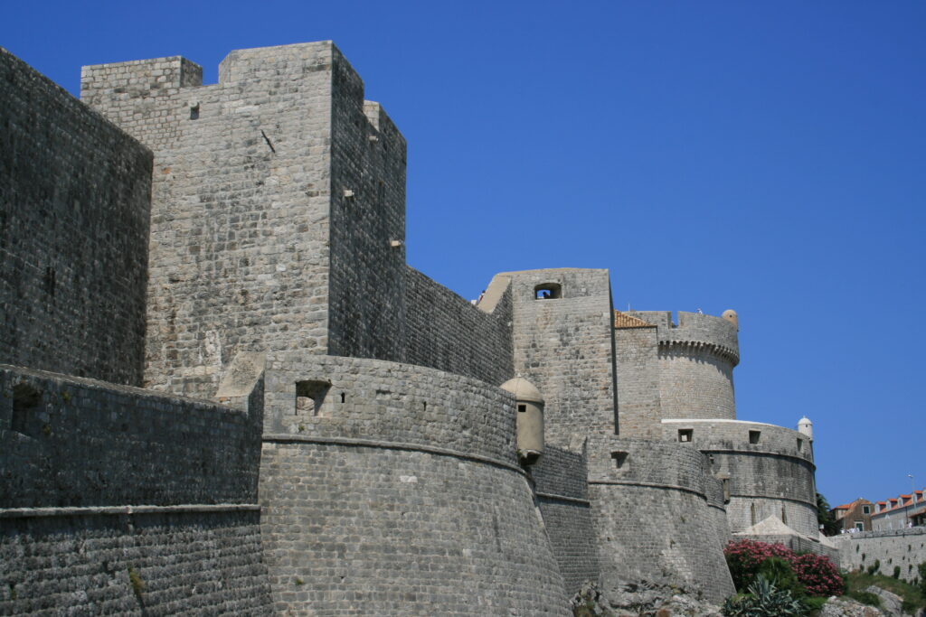
During the siege of Dubrovnik in 1992, the city was partly destroyed by the Serbs (a completely pointless action), but the city has been almost completely restored (as witnessed by all the brand new red roof tiles). Like a heavily walled bastion, the old town of Dubrovnik lies on the Adriatic Sea. An absolute ‘must’ when you are here is a walk on the old city wall. In about an hour and a half you can walk over the wall around the entire city, with great views over the city, the Adriatic Sea and the old port, where three huge cruise ships are now moored.
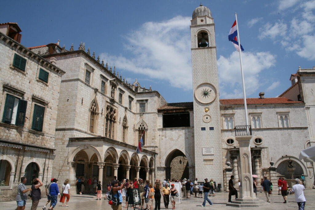
We run into the passengers of these cruise ships when we walk about the city itself. Of all the places in Croatia we’ve been, Dubrovnik is by far the busiest. We walk down Stradun, the main street of the city, with Luža Square at the end. The old buildings are well preserved and nicely restored. Nothing here reminds of the civil war. The many tourists and the full terraces make that a bit hard.
We sent up our tent in Kupari, a small village at ten minutes drive from Dubrovnik. The next morning we drive to Mount Srj near Dubrovnik. Via a steep and narrow (one car wide) road you reach the top of the mountain, from where you have a breathtaking view over Dubrovnik. The afternoon we spend relaxing at the beach of Kupari, a beautiful pebble beach on a bay with clear water. The next morning we go to Dubrovnik airport, where, after almost 1,850 kilometers, we return our rental car, and catch our flight home.


